Using butterfly survey data to model habitat associations in urban developments

Author(s): Cooper, J.E.J., Plummer, K.E., Middlebrook, I. & Siriwardena, G.M.
Published: January 2024
Journal: Journal of Applied Ecology
Digital Identifier No. (DOI): 10.1111/1365-2664.14583
The UK government has pledged to build much-needed new housing that also honours a legal requirement to improve biodiversity. Currently, this is often achieved by compensatory measures ‘off-site’, but BTO research is investigating how biodiversity improvements could be integrated into new developments instead.
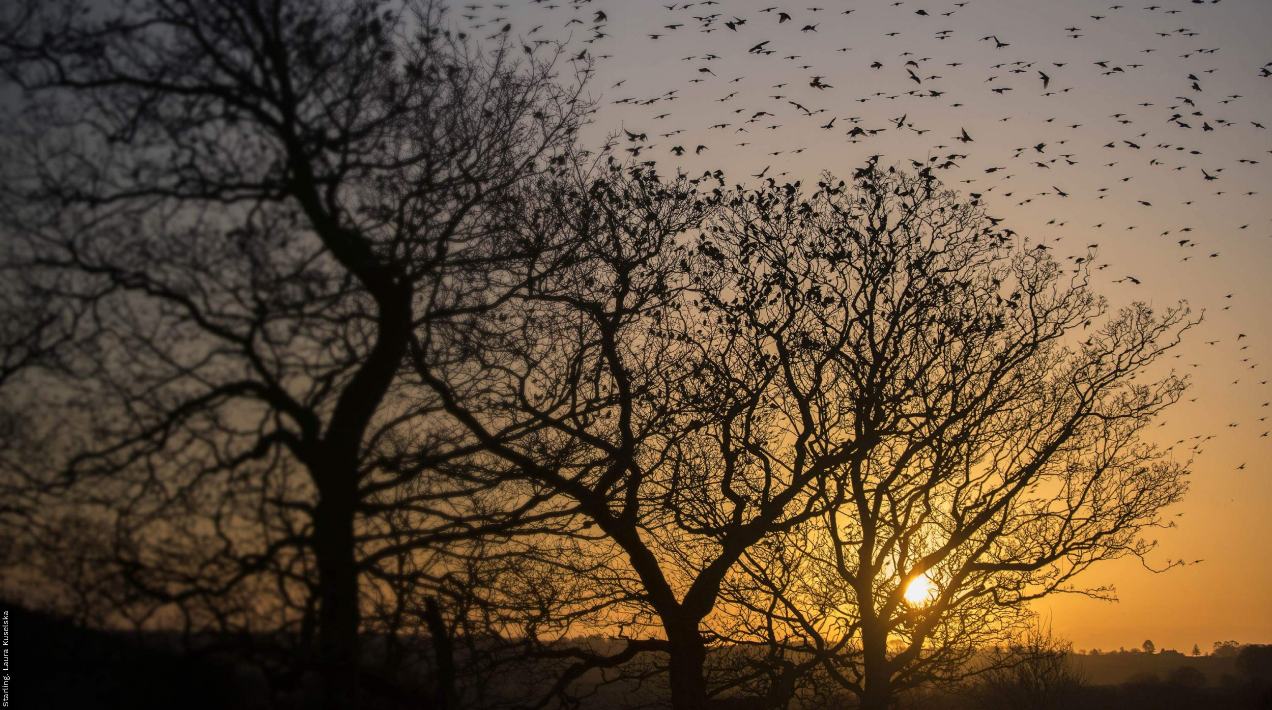
This study used data from 160 urban sites in England, collected by volunteers taking part in the Wider Countryside Butterfly Survey, in which BTO is a partner. Butterflies were chosen as the species group to investigate because they can be sensitive to small changes in habitat, are commonly seen in urban settings, and can reflect the responses of other insects. The percentage of survey sites covered by different types of land, such as housing, roads, and private gardens, was assessed alongside the connectivity and diversity of green spaces and the quantity of broader habitats in the wider landscape, such as waterbodies and farmland. The resulting analysis quantified how 18 butterfly species responded to 32 different measures of urban environments.
Most butterfly species were shown to respond more positively to urban green spaces where management is less frequent, such as grass verges and railway embankments. Higher butterfly counts were also found at urban sites with larger areas of semi-natural grassland, other managed green spaces, and adjacent arable land. Fewer butterflies were seen where the land was highly built up, and the green spaces were more fragmented. Species-specific relationships were also found, for example Holly Blue and Red Admiral thrived in areas with a larger number of smaller, private gardens.
These results could be used alongside related BTO research on birds in urban spaces as a new urban-environment biodiversity prediction tool. Practitioners could receive digestible species information, based upon the nature of their development site and the configuration of habitats in their plan. When used over multiple plans, the user should see which support the most species or have the highest likelihood of encounters with particular species or species groups. This could help support developers in creating biodiverse spaces for people to live in, and reduce the reliance on off-site offsetting schemes, meeting the demand for new homes in a way that benefits humans and the natural world alike.
Abstract
1. One approach for measuring the potential biodiversity in new urban construction projects is through ecological models that predict how wildlife will respond. For the United Kingdom, such models have only been developed for birds, but to maximise the extent to which models represent overall biodiversity, species from different indicator groups must be considered.
2. Here, we assess this possibility for butterflies by combining citizen science survey data with high-resolution digital maps. We derive detailed characteristics of urban landscapes around survey sites using previously established methods and quantify their relationship to counts of adults of 18 butterfly species in urban and peri-urban settings.
3. Higher butterfly counts were found when traversing urban sites with larger areas of semi-natural grassland, other managed greenspaces, and adjacent arable land. Most of the butterfly community were found to have negative relationships with highly built-up or fragmented landscapes.
4. We found high species-specificity for different details of urban form, particularly in habitat elements such as gardens, vegetation around railways, and grass verges.
5. Policy implications: Improving biodiversity is now part of legislation governing new construction projects from England and Wales. However, predicting quantitative changes from hypothetical land-use modifications remains challenging. Our models provide the foundation through which butterfly abundance could be integrated into an urban biodiversity assessment tool, providing species- and community-level statistics to non-specialists from the urban planning and design sector. This would allow them to hone configurations for built surfaces, private gardens, greenspaces, and wildlife areas and assess their capacity to provide residents with the intended access to nature.


Share this page