Throughout the year we send out press releases to individuals and organisations who have signed up to receive these. This page holds details of the press releases posted over the past two years. For press and media enquiries, please email press@bto.org.
Ring, Ring Ye Birds
Forget ‘five gold rings’, how about 866,000 alloy ones? A new report from the British Trust for Ornithology (BTO) highlights the latest findings from wild bird ringing activities across the UK and Ireland.
11-12-2025
Hotter European summers spell danger for migratory birds
New research, published today by the British Trust for Ornithology (BTO) and Durham University, suggests that many migratory bird species are struggling to adapt to the effects of changes in the climate.
10-11-2025
Increase in Avian Influenza cases causes concern for wild birds across the UK
The British Trust for Ornithology (BTO) is asking members of the public to report sightings of dead birds, following a recent spike in the numbers of wild swans, geese and other birds being diagnosed with High Pathogenicity Avian Influenza (HPAI).
07-11-2025
New report reveals the return of rare breeding bird species
The latest report by the Rare Breeding Birds Panel (RBBP), the independent body that monitors the populations of the UK’s rarest breeding birds, celebrates the return of two species to the UK with both being proven to breed in 2023 for the first time since the 1990s.
04-11-2025
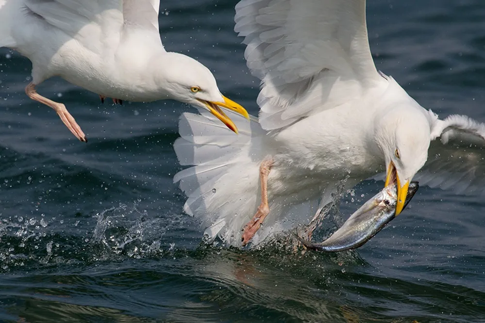
Gastro gulls face slim pickings
Gulls’ feeding habits can prove controversial, as they continue to adapt to human environments.
24-07-2025