Out in the Field
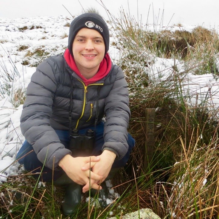
BTO Youth Rep Gethin Jenkins-Jones shares his first experience working for BTO.
After three wonderful years studying Ecology and Conservation at Exeter University, I was very happy to have my first environment-themed job soon after returning home in late summer. And looking back, it was as much of an adventure as it was work, leaving me with some fantastic memories.
The fieldwork in question was all due to the status of Welsh Salmon. When Wales was pristine, Atlantic Salmon filled the rivers annually, providing good sport and food for local communities, but many stocks around the country have declined in recent decades and it is now a protected species.
Among many factors that could be driving these declines is predation by Goosanders and Cormorants, leading Natural Resources Wales (NRW) to grant licences to shoot a limited number of each species in recent years. To assess if this action might have unintended consequences for Cormorant and Goosander populations, NRW engaged the BTO to organize a robust survey estimating the winter populations of these birds along Welsh rivers.
Having spent virtually the entire autumn around Cardiff, the thought of fieldwork was refreshing - but before I got the contract, I needed to complete an online bird identification test. Although I passed, I was surprised (and I know others who agree) how tricky IDing the call of some species can be when you remove the context of habitat, season and region. I was glad to overcome that hurdle!
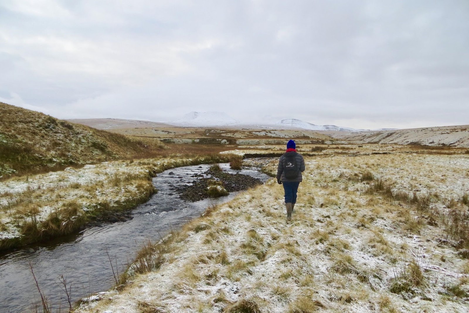
I was designated the River Usk, a 125-kilometre river that flows south-east from the northern slopes of the Black Mountain in the Brecon Beacons to the city of Newport. In late November I was mailed copies of the maps I would use in the field, which divided the river into 13 10-km sections for me to survey. There were also other documents to get my head around: risk assessment, methodology, travel expenses sheets, electronic forms to complete after each survey, and a document to present to people to justify my presence in the area. After a Zoom call with the rest of the team to clarify everything, I was almost ready to go!

Preparing for each section followed a similar routine. First, I studied the maps a day or two before going to the field, taking note of the general landscape, potential obstacles and, most importantly, which side of the river was most suitable to walk along. For the first few sections, the maps also helped me decide what footwear to bring, although following heavy rain I took no chances and wore wellies for every section. The next step was to fill my rucksack with all the necessary equipment: a GPS, plenty of food and water, relevant paperwork, a first aid kit, and the clipboard with the maps to record my findings. Before I started each section, I recorded the weather, the width of the river and the date and time, and then I set off.
Although most of the survey involved walking through fields, sometimes I needed to overcome obstacles to complete sections. The most difficult were a couple of tributaries that had no crossing bridge and were too wide for me to jump over. To avoid a huge detour, I decided to find suitable fallen trunks to crawl along to the other side. Both left me wet and muddy, though thankfully both supported my weight!
Heavy snow and wet mires presented some difficulty, and in one incident I sank beyond the height of my wellies, which made the remainder of the section a lot less pleasant. One other common obstacle - which often led to the destruction of my clothing - was barbed wire. Most fences were low enough to enable me to climb over with no difficulty, but some were higher, and repeated snagging of the barbs against my field trousers left them virtually shredded by the end of February, giving me the appearance of a character from Oliver Twist. (The trousers were duly recycled once I had finished).
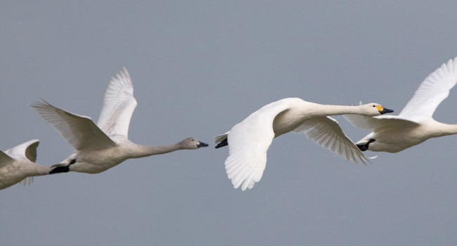
Some birds were total surprises, like Mandarin, wintering Goldeneye, and Green and Common Sandpipers.
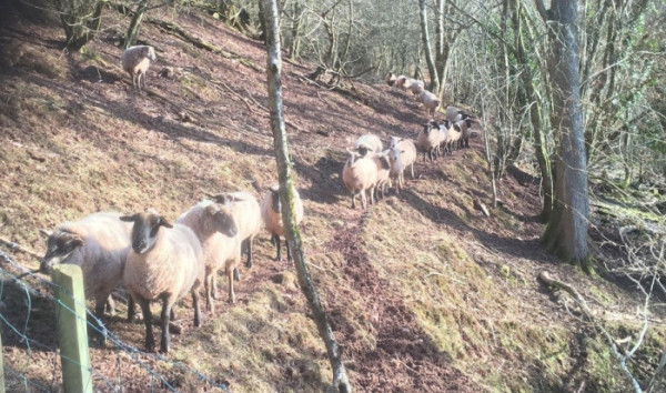
Having lived in a city all my life, one unfamiliar thing that was frequent throughout the project was total solitude. Conversations with people during the surveys were few and far between and, other than the odd conversation with curious (but mostly friendly) landowners, I was often completely alone in open country. For large stretches there was not a soul in sight and sheep were my only company. Some galloped towards me, some looked at me with bored indifference, whilst others fled in fright to the far end of their field. One flock even followed me for several hundred metres along a footpath! I was surprised (and a little disgusted owing to their ecological impact on my country) by the sheer number of these animals I encountered along the Usk and its tributaries, even knowing my nation’s reputation.
The diversity of bird species I encountered exceeded my expectations. Having grown up near the River Taff - a close neighbour of the Usk - I expected to see similar species, but what I encountered was a completely separate ecosystem with far greater biodiversity. At times it honestly made me wish this was my patch instead! In total, I saw around 2,000 birds of 23 different species, including some that were total surprises, like Mandarin, wintering Goldeneye, and Green and Common Sandpipers. I noted every species down on the maps provided using the standard Breeding Bird Survey species codes, and I also noted the behaviour and GPS location for the Goosanders and Cormorants - whether they were swimming, feeding, flying or resting. Upon seeing these birds, I tried my best not to flush them upriver, to avoid ‘double counting’ them later.

Most sections took between three and four hours to complete, which meant there was always plenty of time to relax after I arrived back home. To enter my data, I filled in an online form and noted the six-figure grid references for the non-target wetland species. I also recorded the GPS coordinates for the target species, as well as any other field observations of interest. After completing the main river channel in December, I compared my counts with those that anglers have published. My number of Cormorants was similar, but my Goosander counts were barely 25% of their reported estimate.
When I completed my final section on the penultimate day of February and posted my final field maps and forms, I had walked almost 300 km (185 miles), had seen some fantastic wildlife and had seen places that I never expected to see. I wondered how many other people had walked the entire river. I had walked along ancient paths that might not have been walked upon in years, and had seen derelict farmsteads that stood as surviving pages of long-lost chapters of my country’s past. I now feel that I have a better understanding of Wales itself, and doing this survey has further solidified my desire to pursue a career in conservation.



Share this page