Citation
Abstract
Effective designation and management of Marine Protected Areas (MPAs) for the conservation of seabirds at sea requires a detailed understanding of where they forage. GPS tracking provides high-resolution spatial data, but this is limited to above-water positions and devices cannot function when submerged, making it difficult to record underwater movement of diving species. Temperature-Depth Recorders (TDRs) offer valuable insights into dive depth, profile, and duration, but do not provide the corresponding spatial coordinates needed to determine the environmental conditions at the time and location of dives.
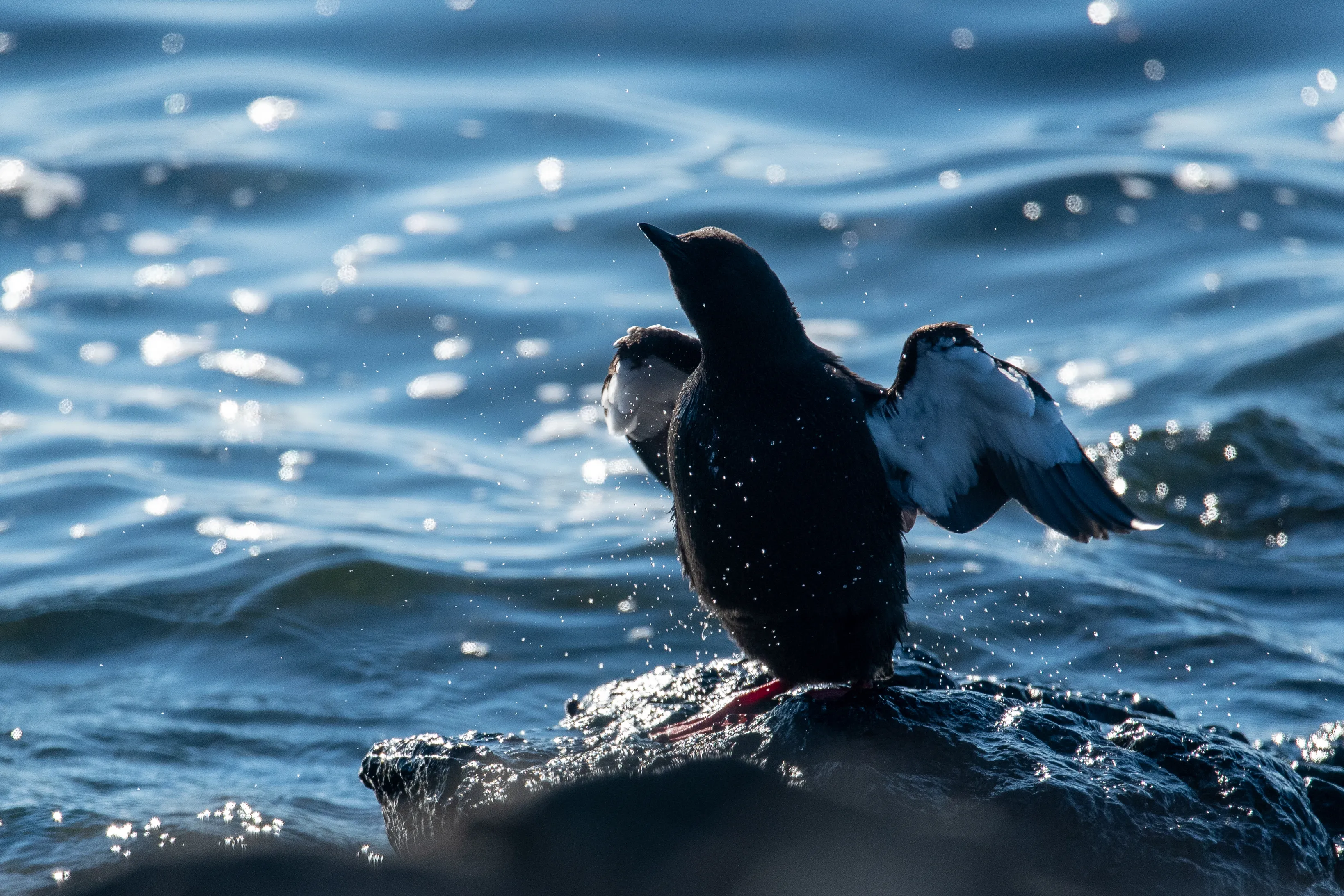
Until recently, there have been logistical and ethical difficulties in co-deploying these devices on birds. Combining GPS and TDR data can provide three-dimensional information, which is particularly important for diving spe- cies like the Black Guillemot Cepphus grylle. However, the methods for integrating TDR and GPS data vary and must be assessed for their effectiveness in identifying potential seabird foraging locations.
In this study, we collected GPS and TDR data from breeding Black Guillemots on Lighthouse Island, Northern Ireland, to evaluate four methods for classifying foraging locations and examined the influence of each on perceived habitat selection. We compared: linearly interpolated dive locations, dives assigned to the nearest GPS fix in time, and hidden Markov models (HMMs) using either spatial information alone or combined with dive duration. Our findings revealed that hour of day, bathymetry, and distance from colony were strongly associated with foraging locations identified by all methods. The dives were predominantly benthic, occurring at depths of 13.47 m (±6.22), and took place during daylight hours. While the GPS-only model identified similar environmental covariates and foraging distributions, it lacked the behavioural specificity provided by dive data.
Therefore, models incorporating dive data offered a more biologically realistic representation of habitat use by Black Guillemots. These results highlight the importance of incorporating dive information when identifying foraging habitat in diving sea- birds to ensure effective MPA designation and management plans.
Staff author(s)


This work was funded by the Marine Protected Areas Management and Monitoring Project (MarPAMM) project, supported by the EU’s INTERREG VA Programme, managed by the Special EU Programmes Body.