Flight heights obtained from GPS versus altimeters influence estimates of collision risk with offshore wind turbines in Lesser Black-backed Gulls Larus fuscus
In an effort to cut carbon emissions, many countries (including the UK) are constructing ever more offshore wind farms. Seabirds are at risk of colliding with the blades of offshore wind turbines, posing the potential for injury or death. However, the extent of this risk depends on several factors including how high the seabirds fly in relation to the area swept by turbine blades, the seabirds’ flight speeds, and any avoidance behaviour they undertake in response to either individual turbines or entire wind farms. Accurate understanding of these behavioural aspects of seabirds is important when assessing the potential population impact an offshore wind farm will have through so-called Collision Risk Models (CRMs).
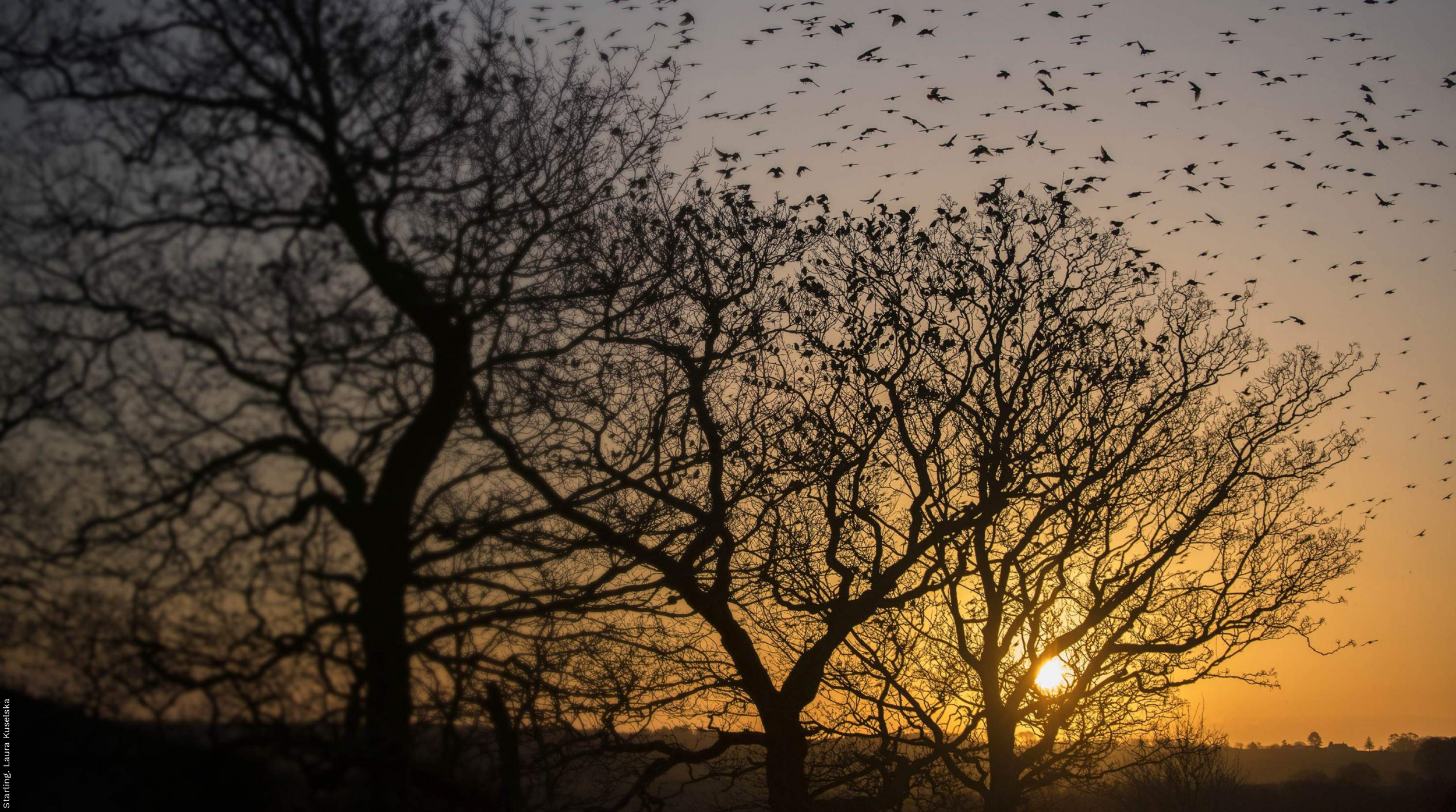
As previous BTO research has shown, bird-borne tracking devices are essential for shedding light on seabird flight behaviour. Different methods for gathering flight height information within tracking devices can influence the altitudes they produce, with implications for the collision estimates ultimately produced. This study compared the flight height altitudes produced from GPS and barometric altimeter data from tagged Lesser Black-backed Gulls to investigate this matter. Novel methods for calibrating GPS and altimeters were trialled to reduce error within the altitudes calculated by these methods as much as possible.
The data were collected by attaching tracking devices to adult Lesser Black-backed Gulls captured while they were incubating their eggs at two breeding colonies (the Isle of May in Scotland and Havergate Island in England) in 2019 and 2020. Tags contained both GPS, which estimates a bird’s position using a network of satellites, and altimeters, which use air pressure measurements to estimate flight height. These two systems enabled flight heights obtained from either method to be compared.
The results showed that altimeter data, when combined across years and colonies, produced higher flight heights than GPS data, and that this difference was more marked at higher sampling frequencies (e.g. one data point every 10 seconds) than at lower ones (e.g. one data point every five minutes). This in turn led to a greater number of collisions being predicted by CRMs for altimeter data than for GPS data. However, when GPS-altimeter data was split by sampling rate, year, and colony, flight heights from altimeters were not consistently higher, indicating local environmental conditions play a role influencing the accuracy of altitudes recorded.
Tracking devices can provide information on flight height across a range of behaviours and environmental conditions. Improvement of calibration steps to account for the influence of the environment on tracking devices will help improve the accuracy of flight height information collected in future. This will increase confidence in the use of tracking devices in future assessments of collision risk and help to better predict mortality associated with wind farms. Forming a better understanding of the impacts of wind farms on seabirds will help ensure their appropriate development in future throughout the North Atlantic.
The risk posed by offshore wind farms to seabirds through collisions with turbine blades is greatly influenced by species-specific flight behaviour. Bird-borne telemetry devices may provide improved measurement of aspects of bird behaviour, notably individual and behaviour specific flight heights. However, use of data from devices that use the GPS or barometric altimeters in the gathering of flight height data is nevertheless constrained by a current lack of understanding of the error and calibration of these methods. Uncertainty remains regarding the degree to which errors associated with these methods can affect recorded flight heights, which may in turn have a significant influence on estimates of collision risk produced by Collision Risk Models (CRMs), which incorporate flight height distribution as an input. Using GPS/barometric altimeter tagged Lesser Black-backed Gulls Larus fuscus from two breeding colonies in the UK, we examine comparative flight heights produced by these devices, and their associated errors. We present a novel method of calibrating barometric altimeters using behaviour characterised from GPS data and open-source modelled atmospheric pressure. We examine the magnitude of difference between offshore flight heights produced from GPS and altimeters, comparing these measurements across sampling schedules, colonies, and years. We found flight heights produced from altimeter data to be significantly, although not consistently, higher than those produced from GPS data. This relationship was sustained across differing sampling schedules of five minutes and of 10 s, and between study colonies. We found the magnitude of difference between GPS and altimeter derived flight heights to also vary between individuals, potentially related to the robustness of calibration factors used. Collision estimates for theoretical wind farms were consequently significantly higher when using flight height distributions generated from barometric altimeters. Improving confidence in telemetry-obtained flight height distributions, which may then be applied to CRMs, requires sources of errors in these measurements to be identified. Our study improves knowledge of the calibration processes for flight height measurements based on telemetry data, with the aim of increasing confidence in their use in future assessments of collision risk and reducing the uncertainty over predicted mortality associated with wind farms.
Notes
This project was funded by the Department for Business, Energy and Industrial Strategy (BEIS)’s Offshore Energy Strategic Environmental Assessment research programme.


Share this page