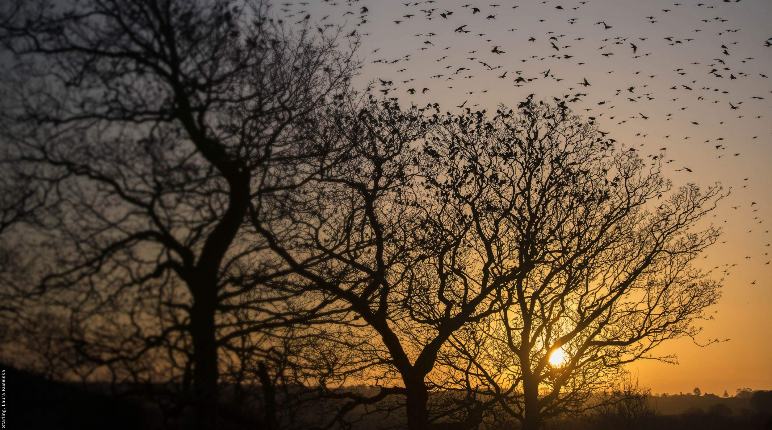
Breeding and wintering bird distributions in Britain and Ireland from citizen science bird atlases

Author(s): Gillings, S., Balmer, D.E., Caffrey, B.J., Downie, I.S., Gibbons, D.W., Lack, P.C., Reid, J.B., Sharrock, J.T.R., Swann, R.L. & Fuller, R.J.
Published: April 2019
Journal: Global Ecology and Biogeography Volume: 28
Digital Identifier No. (DOI): 10.1111/geb.12906
The first breeding atlas – the first national bird atlas anywhere in the world - conducted during 1968–72, was described at the time as “a huge step forward in our knowledge of the distributions of British and Irish birds. It is by far the biggest co-operative effort ever undertaken by field ornithologists in these islands, indeed probably anywhere in the world, which will stand for many years as a tribute to the enthusiasm and industry of a large number of people”. Subsequent atlases have continued that theme, and collectively the series of breeding and wintering atlases from 1968–72 to 2007–11 contain 1.4 million 10-km resolution distribution records of 458 species.
This new paper describes how fieldwork in the different atlases was conducted and how these records were collated to produce distribution and distribution change datasets. It explains some of the subtle changes in field methods, breeding evidence criteria, effort and taxonomy that impact how the data can be used. For example, in that pioneering 1968–72 breeding atlas fieldwork involved visiting 10-km squares and searching for breeding evidence and no counting of individual birds was required. By Bird Atlas 2007–11, volunteers were also undertaking timed visits in 2-km tetrads to provide a systematic estimate of relative abundance. The combined effort required to generate these atlases is very hard to estimate. Probably in excess of 60,000 volunteers contributed over 20 million bird records spanning 99.9% of the land area of Britain and Ireland. We are indebted to those volunteers for providing such a comprehensive picture of the changing status of the birds of Britain and Ireland. They will be reassured to know that although the majority of the data are provided at 10-km resolution, distributions for a minority of rare or sensitive species are shared at 20-km or 50-km resolution as mapped in the most recent atlas.
BTO has already made distribution maps freely available via the Bird Atlas Mapstore. Now in making the underlying distribution and change data freely available (for non-commercial uses) we hope to facilitate new work on topics such as species distribution modelling, assessing the drivers of distribution change and forecasting the response of species to future environmental change and other innovative uses that have yet to be devised.
Download the dataset

This work is licensed under a Creative Commons Attribution-NonCommercial 4.0 International License.


Share this page