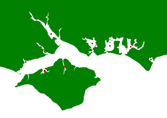
Solent LTC Coverage Map
Solent Coverage Map
Click on the site of interest to find out the level of coverage attained by the WeBS Low Tide Count scheme. If you are not sure of the location of the site you're interested in, please search in the alphabetical list of sites.
The counts run from November to February of a winter - the months listed are those for which any counts were received. The level of coverage is described broadly as "good" (for relatively complete geographical coverage of a site) or "partial" (where counts only refer to restricted sections of a site). Note that the coverage information is updated to the end of the 2008-2009 winter.







Share this page